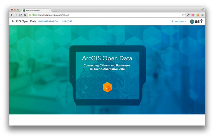
Last Thursday Esri announced the launch of the 'ArcGIS Open Data' initiative in beta. Having this major player enhancing access, in their own way, to open geospatial data can only help.
From their announcement: "Starting today any ArcGIS Online organization can enable open data, specify open data groups and create and publicize their open data through a simple, hosted and best practices web application. […] For you Data Providers, you can participate in open data in a few ways. Foremost you can specify open data groups and items in your organization. By doing so, you indicate to the community that this data is open to be shared, downloaded, and reused in other open data sites and applications. You don’t need to actually host your own site for your data to be valuable to others. […] On the other side, Data Consumers such as citizens, businesses and developers can begin using their local open data sites to quickly access and download data in a variety of common formats: KML, Spreadsheet (CSV), Shapefile, GeoJSON and GeoServices. As the US Open Data Institute recently noted suggested the impact to opening government data if software had ‘Export as JSON’ by default. That’s what you now have. Users can also subscribe to the RSS feed of updates and comments about any dataset in order to keep up with new releases or relevant supporting information."
