Bloggage update: As I went solo in the new year, I collected my previous works also seen in the blog banner map gallery, and posted the Esri maps as a map story. I was inspired by the Smithsonian’s use of this vehicle, which Dawn Wright pointed out to me, after I published a feature on Map Stories in the Anthropocene Review. This follows Esri’s David di Biase’s take that the new text books will not be textbooks per Adena Schutzberg. So stay tuned for petroleum apps that blend my work in petroleum geoscience and volunteered geography.
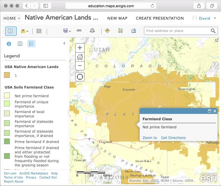
From Adena’s article: “That makes the appearance of interactive maps in them most welcome. Not only do these new maps portend more engaged and spatial literacy, they also provide a window into the learning devices that may lie ahead. Students searching and zooming in on in-text interactive maps will get a taste of what self driven learning without boundaries might feel like.”
