Coding skills are now a requirement for lots of geospatial practitioners, here’s a recent and useful summary named GIS Programming: Languages breakdown. From the article: “Unlike Fortran, C/C++ is still in widespread use, in the GIS-field it’s beeing used for several desptop applications of some age, as well as in what I’ll call the “first wave” of open source libraries ...
Read More »Tag Archives: languages
Batch Geonews: Voxel.js Minecraft-like, QGIS for Android, Side-by-Side Router, and much more
Here's the recent geonews in batch mode.
On the open source front:
- 3D and open source with WebGL mixed with games gives you Voxel.js: Minecraft-like Browser-Based Games, But Open Source, which can certainly be reused for other geospatial projects
- Never mentioned here before, an QGIS for Android in development, and on a similar topic, QGIS Globe works again
- OpenStreetMap's new editor named iD gets a new home and updates, ideditor
- After last year's success, NASA launches second International Space Apps Challenge, open data and open source
-
MapBox-related news:
- Of course, MapBox Maps Now Embed On Twitter
- You can now embed MapBox interactive maps in Apple iBooks Author software
- An entry on Using Google Fusion Tables to Add Real-Time Feeds to MapBox Maps
On the Esri front:
- The ArcGIS Online World Topographic Map first updates
On the Google front:
- A nice Side-by-Side Router, allowing you to see directions for driving, transit, bicycling and walking on a same map
- You can learn a bit more, Details of Google's Project Glass Revealed In FCC Report
In the miscellaneous category:
- Microsoft shares a Bing Maps for Windows Store Apps Training Kit
- And if developing for iOS, Apple Reaches Out to LBS Developers with iOS 6.1 POI Search API
- Pretty interesting on the future of 3D photography, Light Field Photography Is the New Path To 3-D
- Not the first time we hear about similar protections, In Brazil, Trees To Call For Help If Illegally Felled
- Satellites (including footprints) and iPad / iPhone: New iOS app to view the SES Astra satellite info
- I did not know that February 2nd is World Wetlands Day
- Interesting on the Future U.S. Workforce for Geospatial Intelligence, the world needs need more geospatial experts
- Which is also true considering 95% of of Public Safety Agencies Under-utilize Computer Mapping and GIS
- A topic we discussed recently, Analytics for people, the next big thing in retail
- If you have an interest in check-ins, 500 Million Foursquare Check-ins Visualized
In the maps category:
- A different kind of map, Swiss Historical Maps Allow Journey Through Time In Your Browser
- Map of the Geography of Abortion Access in the US
- On the geography of languages, here's entries named World Maps of Language Families, World Maps of Language Families, Continued, and Remaining Language Families and Geographical Language Groups
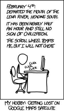
- Let's close this batch mode edition by another funny xkcd on mapping