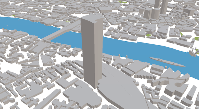
ViziCities is an open-source 3D city visualisation platform powered by JavaScript, WebGL, and OpenStreetMap. It allows you see OpenStreetMap data in 3D, anywhere in the world. A dynamic loading system allows you to move around and load new areas continuously, just like a Google Map. It's still in a very early stage, though development is accelerating now that it's open.